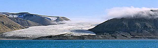
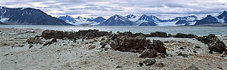
Svalbard is a norwegian archipelago in the Polar Sea. Often it is known under "Spitsbergen". The geography and the history are both very interesting.
Some general information about Svalbard:
Location:
latitude: 74° North to 81° North
longitude: 10° East to 35° East
highest peak (Newtontoppen): 1717 m asl.
Climate:
Longyearbyen: coldest month is February with – 15.2 °C
the warmest month is July with 6.2 °C
annual air temperature: – 5.8 °C (average 1975-2000)
Light and Darkness:
Midnightsun: 21th of april to 23th of august
Polarnight: 26th of october to 16th of february
More interesting and detailed information from Ole Humlum, UNIS, Department of Geology, Svalbard, Norway: